Determining managed and non-managed grassland areas and grassland with trees and shrubs cover using registry and earth observation data.
Conference
10th International Conference on Agricultural Statistics
Format: CPS Paper - ICAS 2026
Keywords: earth-observation-data, grassland-management, innovative data collection, saio, sentinel-2
Abstract
According to new EU regulations (2023/1538) Statistics on Agricultural Input and Output (SAIO) every EU member state has to report the area of managed grassland at national and regional level. In addition, grassland areas with trees and shrubs also need to be reported. This will lead to an increased response burden for farmers. To prevent this increase of burden new approaches to obtain the requested data are needed.
Therefore, we started to investigate if earth observation data can discriminate between managed and non-managed grassland areas. In addition, we would like to investigate if maps containing information on trees and shrubs can be used to determine grassland areas with trees and shrubs cover.
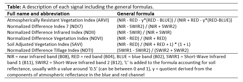
In the Netherlands, farmers have to register their parcels in the Land Parcel Identification System. In this registry the following types of grassland can be registered: a) temporary grassland, b) pasture and meadows, c) rough grazings with agricultural activities and d) rough grazings without agricultural activities (main function nature). Using satellite data, information on these parcels can be obtained. Our goal is to determine if satellite data can be used to discriminate between pasture and meadows (managed permanent grassland) and rough grazings with agricultural activities (non-managed grassland). As a proof of principle, we are currently investigating a set of vegetation indicators based on Sentinel-2 satellite data in a part of the Netherlands (see figure).
Figures/Tables
figure
table