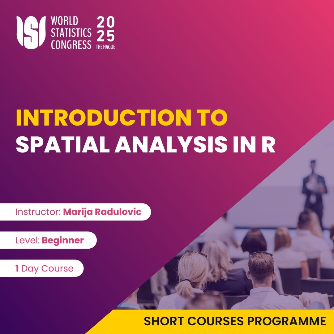
For more details on registrations and submissions for the Introduction to Spatial Analysis in R, please first login to your account. If you do not have an account then you can create one below:
Please note: registration is now closed. You can still create an account for future updates.
Login to your account Create accountIntroduction to Spatial Analysis in R is an introductory course designed to equip students with the skills to analyze and visualize spatial data using R. The course covers key concepts of spatial data types, coordinate reference systems and spatial relationships. Participants will learn to work with spatial data formats, perform geoprocessing tasks, and conduct spatial statistical analyses. Through practical coding exercises, students will use R packages like sf, sp, and tmap to manipulate spatial data and create informative maps.

Marija Radulović is Assistant Professor at State University of Novi Pazar, Republic of Serbia..
She has over 10 years of experience as Head of Research in Research Center in Belgrade, Serbia and Lecturer for courses in statistical data analysis in SPSS, Stata, R.
The course is ideal for anyone (students, researchers, policy makers, professionals) curious about the potential of spatial analysis in their domain.
No prior experience with spatial data or GIS software is required, as the course introduces these topics from the ground up.
Leiden University, Wijnhaven campus
Turfmarkt 99, 2511 DP The Hague
Open in Google Maps
From The Hague Central Station
From Centrum The Hague (Binnenhof / Grote Markt)
From World Forum The Hague
For more details on registrations and submissions for the Introduction to Spatial Analysis in R, please first login to your account. If you do not have an account then you can create one below:
Please note: registration is now closed. You can still create an account for future updates.
Login to your account Create account